Satellite map of Saint Helena Island or Otters Island
Google Road map of Saint Helena Island or Otters Island
Google satellite map of Saint Helena Island or Otters Island
Google terrain map of Saint Helena Island or Otters Island
Road map of Saint Helena Island or Otters Island
Topographic map of Saint Helena Island or Otters Island
Address
Saint Helena Island or Otters Island, Clondavaddog, Kilmacrenan, Donegal, Ulster, Ireland
Coordinates for GPS
Latitude 55.240105 Longitude -7.711045
Geographical coordinates
Latitude 55°14′24″N Longitude 7°42′40″W
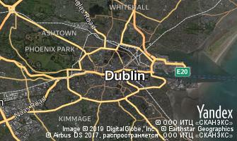 Map of Dublin
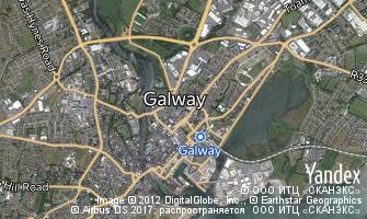 Map of Galway
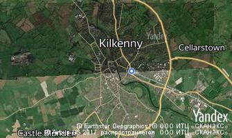 Map of Kilkenny