Satellite map of Clonkeen (Barrington)
Google Road map of Clonkeen (Barrington)
Google satellite map of Clonkeen (Barrington)
Google terrain map of Clonkeen (Barrington)
Road map of Clonkeen (Barrington)
Topographic map of Clonkeen (Barrington)
Address
Clonkeen (Barrington), Clonkeen, Clanwilliam, Limerick, Munster, Ireland
Coordinates for GPS
Latitude 52.641455 Longitude -8.467746
Geographical coordinates
Latitude 52°38′29″N Longitude 8°28′4″W
Area
1.17 km2
Length/Width
From North to South> 1 556.47 km From East to West 1 351.73 km
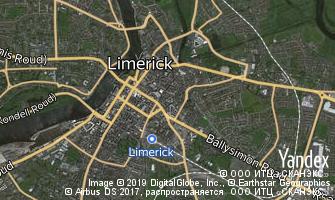 Map of Limerick
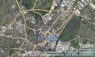 Map of Galway
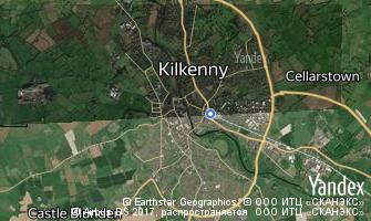 Map of Kilkenny