Satellite map of Burgagery-lands East
OSM map of Burgagery-lands East
Road map of Burgagery-lands East
Topographic map of Burgagery-lands East
Bing map of Burgagery-lands East
Townland Burgagery-lands East located within:
Nearest cities:
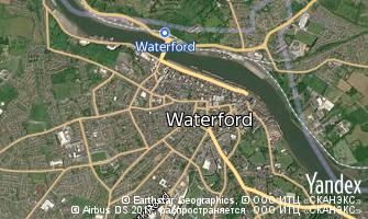
 Map of Waterford
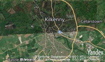
 Map of Kilkenny
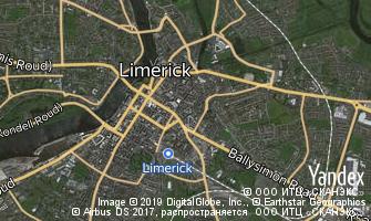
 Map of Limerick